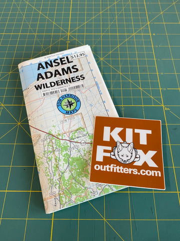
Mammoth High Country is an area located in the Inyo National Forest. Coverage on this map includes, Minarets, June Lake, Grant Lake, Ritter Range, Convict Lake, Mono Craters, Devils Postpiles, Mammoth Lakes, Agnew Meadows, Thousand Island Lake. As well as portions of the Ansel Adams Wilderness; John Muir Wilderness and Mono Basin National Scenic Area.
Product Details / Specifications:
ISBN13: 978-1-877689-56-7
Published Date: 2018
Topo (Contour) Lines: Yes
Relief Shading: Yes
Double Sided: No
Regions: CA
Countries: USA
Media: Waterproof & Tear Resistant Plastic
Format: Folded
Folded Dimensions [L" x W" x D"]: 7 x 4.25 x 0.25 in (17.78 x 10.79 x 0.63 cm)
Unfolded Dimensions [L" x W"]: 35 x 25.5 (88.9 x 64.77 cm)
Map Scale: 1" = 1 mile (1:63,360), contour interval 80 feet, UTM Zone 11
Scale: 1:63,360
Two Sided: No
Pieces: 1
Languages: English